File:Map.png
Jump to navigation
Jump to search
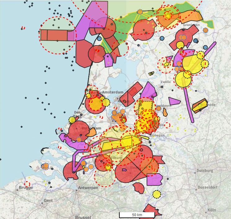

Size of this preview: 632 × 600 pixels. Other resolution: 745 × 707 pixels.
Original file (745 × 707 pixels, file size: 876 KB, MIME type: image/png)
File history
Click on a date/time to view the file as it appeared at that time.
| Date/Time | Thumbnail | Dimensions | User | Comment | |
|---|---|---|---|---|---|
| current | 17:48, 24 March 2021 | | 745 × 707 (876 KB) | 20192772 (talk | contribs) | |
| 21:34, 24 February 2019 |  | 411 × 731 (85 KB) | S168309 (talk | contribs) | ||
| 18:41, 23 June 2015 |  | 636 × 368 (29 KB) | S119349 (talk | contribs) | ||
| 18:38, 23 June 2015 |  | 636 × 368 (27 KB) | S119349 (talk | contribs) | ||
| 18:30, 23 June 2015 |  | 625 × 367 (23 KB) | S119349 (talk | contribs) |
You cannot overwrite this file.
File usage
The following 2 pages use this file: